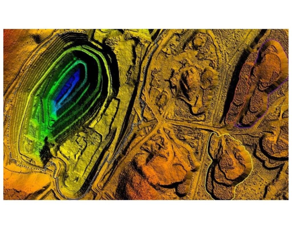
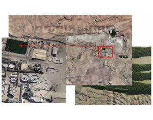
 Langer Heinrich Mine
Namibia
10,000 Hectares (100 km2)
Orthomosaic mapping
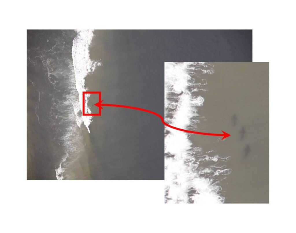
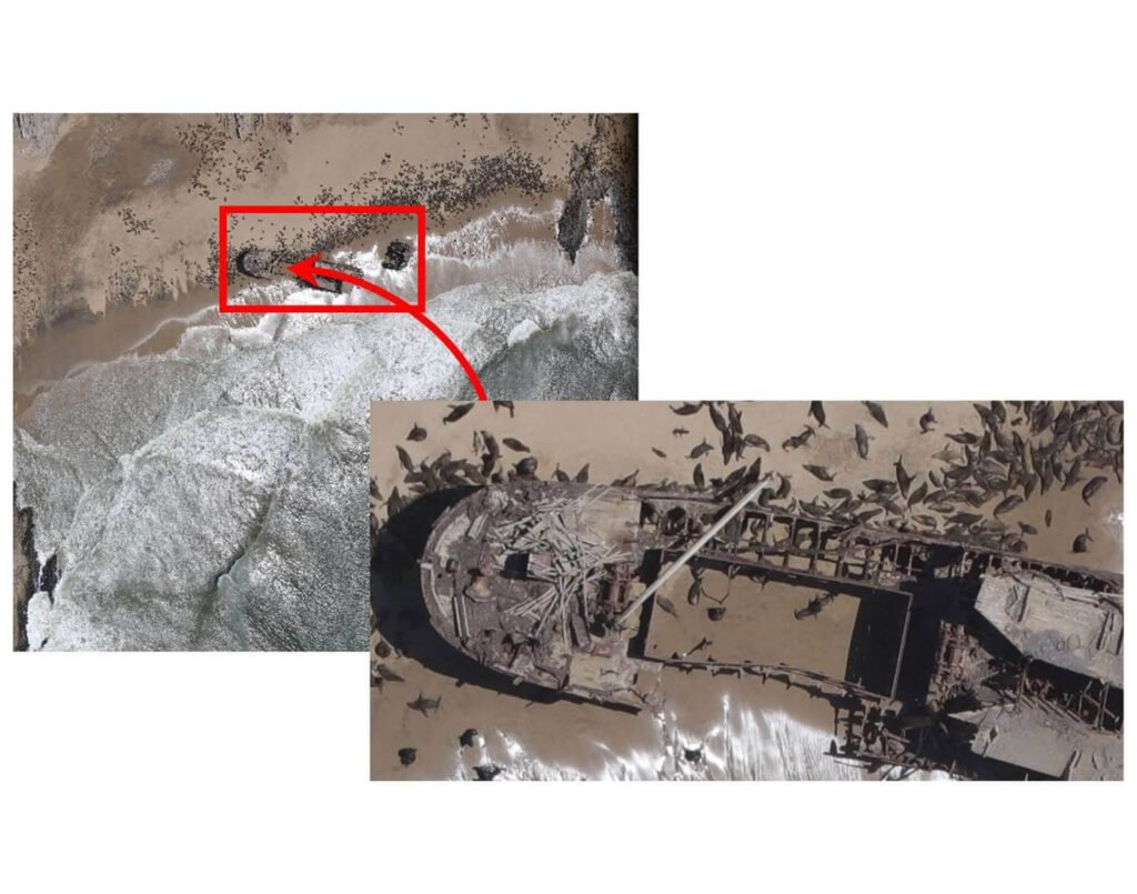
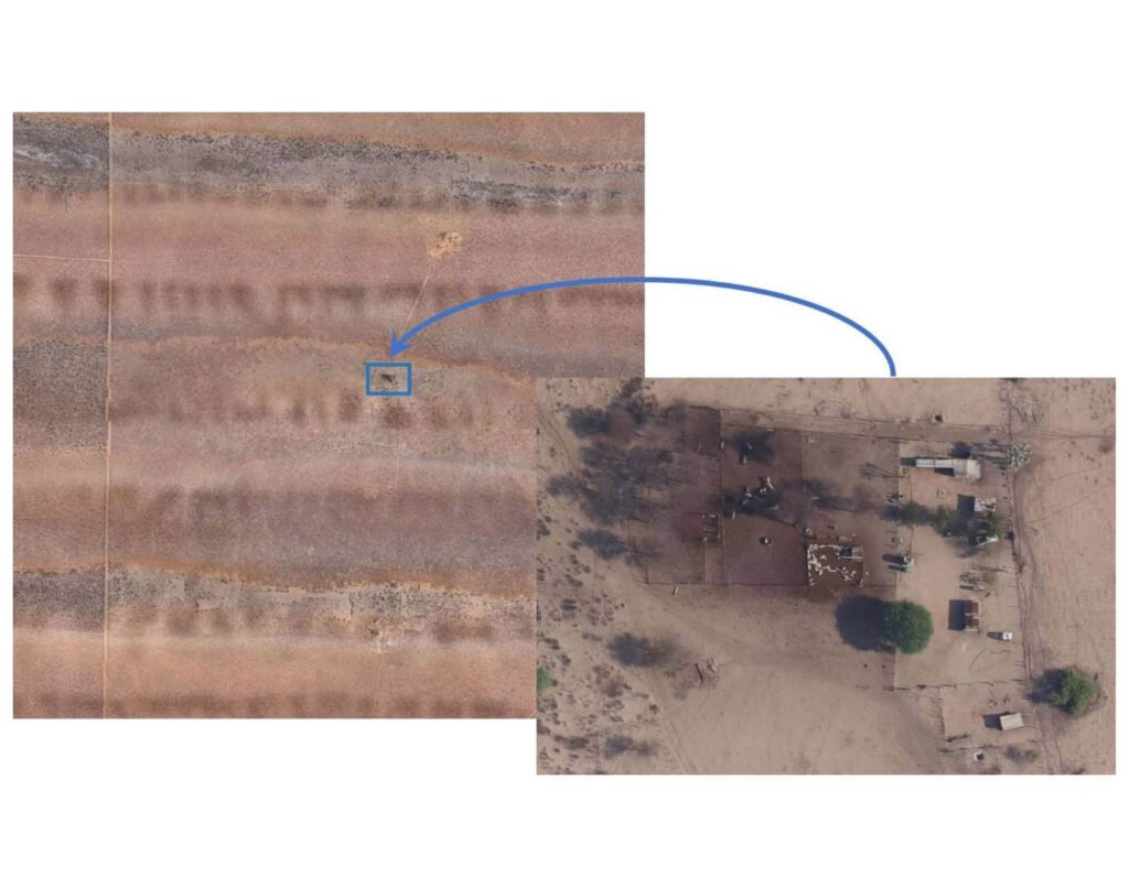
 Coastline Seal Census
Namibia
Length of the entire Namibian Coastline
Orthomosaic mapping
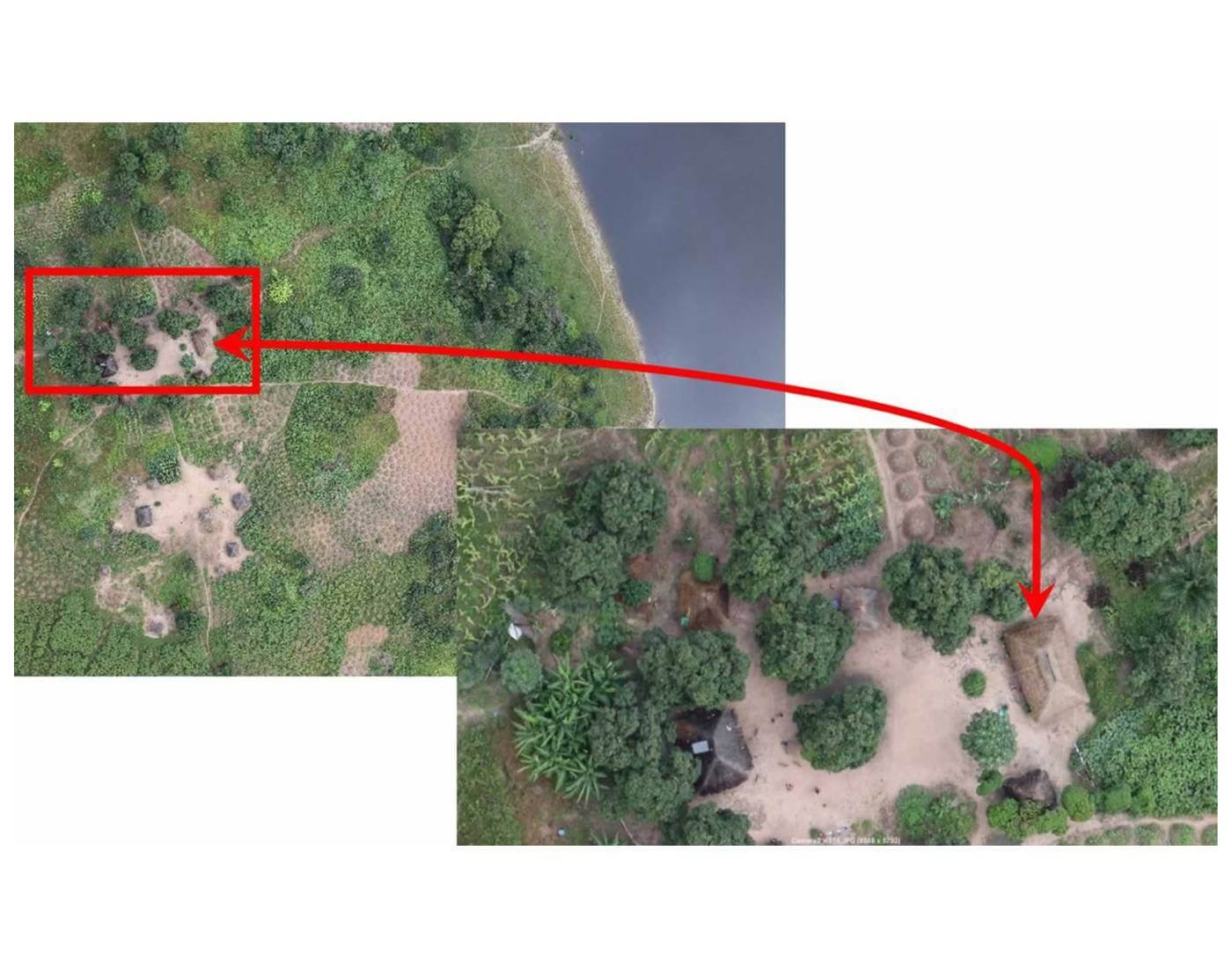
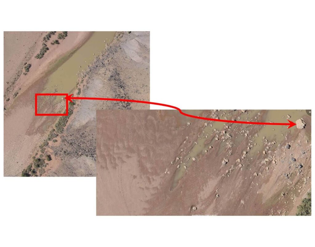
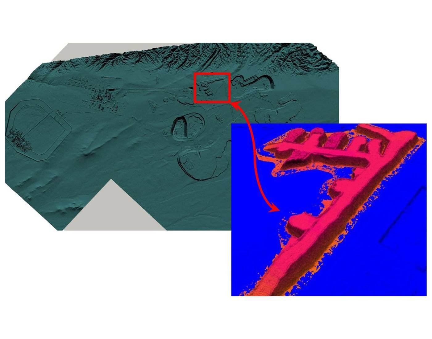
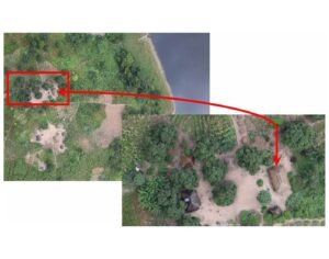
 Jonkersgrab no. 7
Namibia
300,000 hectares (3000km2)
Orthomosaic mapping
 Cameia National Park
Angola
1.2 million hectares (12,000km2)
4 of 10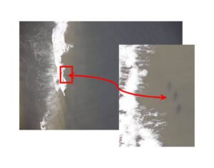 Iona National Park
Angola
1.5 million hectares (15,000km2)
5 of 10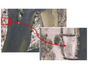 Luiana-Luengue and Mavinga National Parks
Angola
9 million hectares (90,000km2)
6 of 10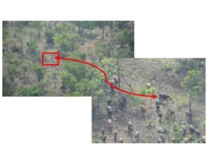 Mole National Park
Ghana
450,000 hectares (4500km2)
7 of 10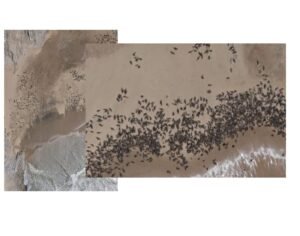 Seal Census
Port Elizabeth to Tigres Island Angola
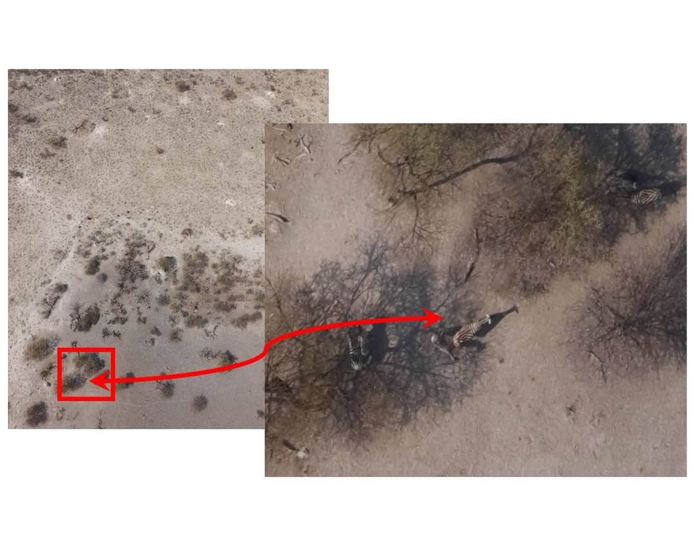
8 of 10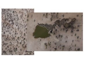 Etosha Heights Wildlife Census
Namibia
48,000 hectares (480 km2)
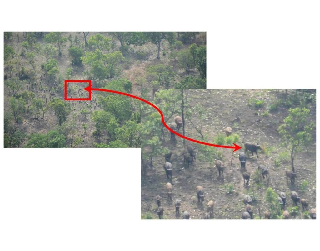
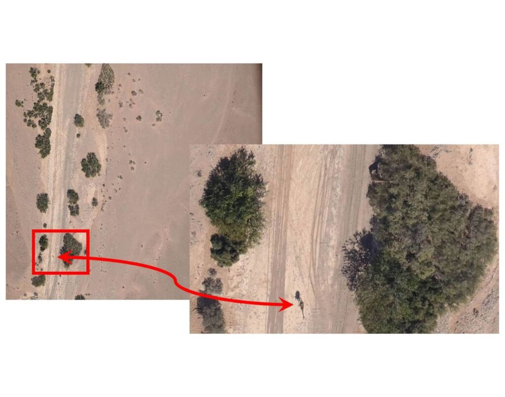
9 of 10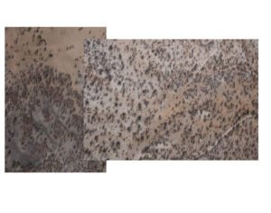 KAZA Elephant Census
Zimbabwe, Botswana, Angola, & Namibia
10 of 10

Langer Heinrich Mine
Namibia
10,000 Hectares (100 km2)
Orthomosaic mapping
Coastline Seal Census
Namibia
Length of the entire Namibian Coastline
Orthomosaic mapping
Jonkersgrab no. 7
Namibia
300,000 hectares (3000km2)
Orthomosaic mapping
Cameia National Park
Angola
1.2 million hectares (12,000km2)
4 of 10Iona National Park
Angola
1.5 million hectares (15,000km2)
5 of 10Luiana-Luengue and Mavinga National Parks
Angola
9 million hectares (90,000km2)
6 of 10Mole National Park
Ghana
450,000 hectares (4500km2)
7 of 10Seal Census
Port Elizabeth to Tigres Island Angola
8 of 10
Etosha Heights Wildlife Census
Namibia
48,000 hectares (480 km2)
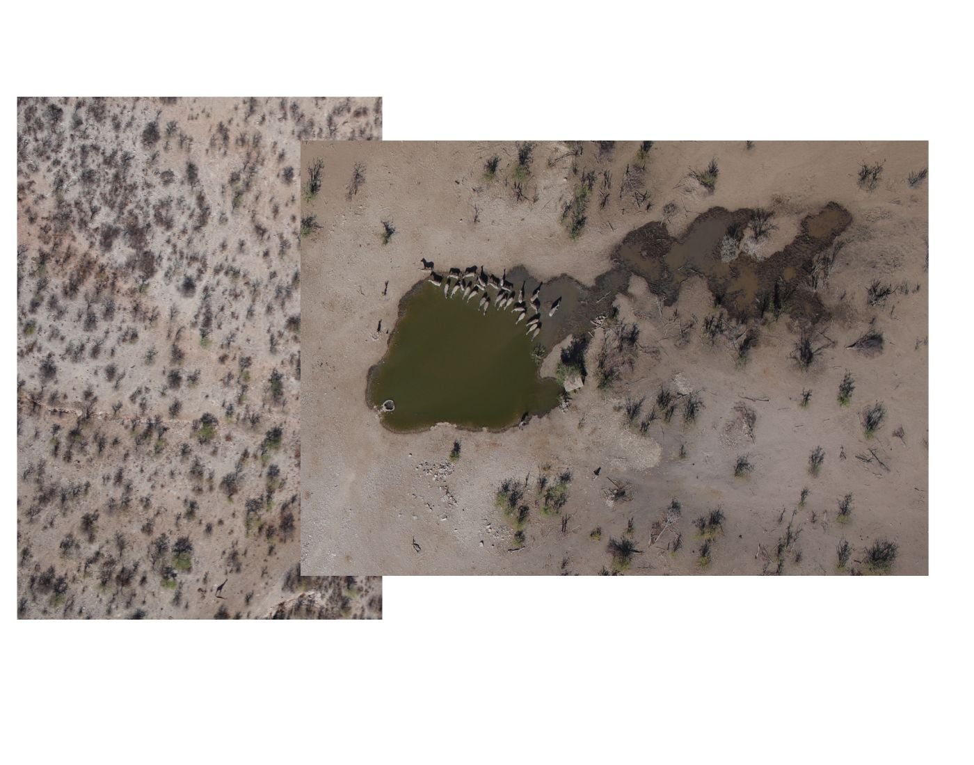
9 of 10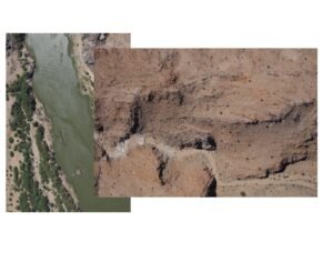 ORKCA Wildlife Census
68,000 hectares (680 km2)
10 of 10