Geospatial Analysis
For a Changing World
Combining the use of aircraft and digital photography to produce images that are then processed with world leading engineering and geospatial software enabling customers to visualise complex data.
Proudly Namibian Owned Professionals
A Namibian owned company offering aerial survey services. We are professional and experienced with over 50 projects completed to date.
Specialised in Aerial Wildlife Surveys
We specialise in aerial wildlife surveys and have completed numerous major surveys of National Parks and in Angola, Ghana and Namibia.
Variety of tailor-made Aviation Services
We offer a variety of tailor-made charter and transfer services to any destination of your choice within Namibia and the rest of Southern Africa.
Technology & Science
Surveying
Thermal
GIS
Servicing the African Continent

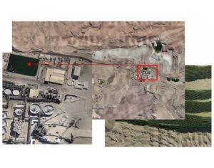 Langer Heinrich Mine
Namibia
10,000 Hectares (100 km2)
Orthomosaic mapping
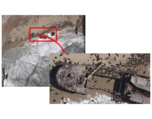 Coastline Seal Census
Namibia
Length of the entire Namibian Coastline
Orthomosaic mapping
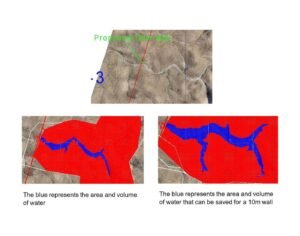 Jonkersgrab no. 7
Namibia
300,000 hectares (3000km2)
Orthomosaic mapping
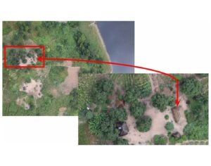 Cameia National Park
Angola
1.2 million hectares (12,000km2)
4 of 10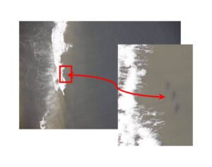 Iona National Park
Angola
1.5 million hectares (15,000km2)
5 of 10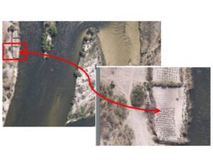 Luiana-Luengue and Mavinga National Parks
Angola
9 million hectares (90,000km2)
6 of 10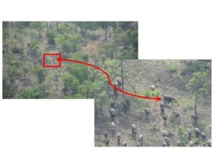 Mole National Park
Ghana
450,000 hectares (4500km2)
7 of 10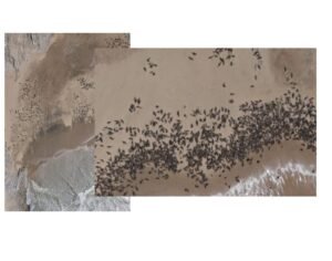 Seal Census
Port Elizabeth to Tigres Island Angola
8 of 10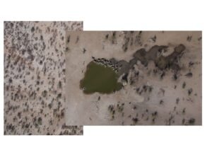 Etosha Heights Wildlife Census
Namibia
48,000 hectares (480 km2)
9 of 10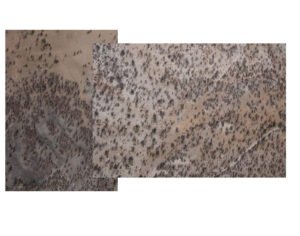 KAZA Elephant Census
Zimbabwe, Botswana, Angola, & Namibia
10 of 10

 Langer Heinrich Mine
Namibia
10,000 Hectares (100 km2)
Orthomosaic mapping
 Coastline Seal Census
Namibia
Length of the entire Namibian Coastline
Orthomosaic mapping
 Jonkersgrab no. 7
Namibia
300,000 hectares (3000km2)
Orthomosaic mapping
 Cameia National Park
Angola
1.2 million hectares (12,000km2)
4 of 10 Iona National Park
Angola
1.5 million hectares (15,000km2)
5 of 10 Luiana-Luengue and Mavinga National Parks
Angola
9 million hectares (90,000km2)
6 of 10 Mole National Park
Ghana
450,000 hectares (4500km2)
7 of 10 Seal Census
Port Elizabeth to Tigres Island Angola
8 of 10
 Etosha Heights Wildlife Census
Namibia
48,000 hectares (480 km2)
9 of 10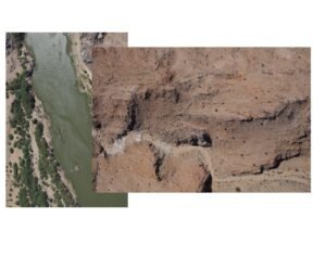 ORKCA Wildlife Census
68,000 hectares (680 km2)
10 of 10Technological Superiority

Specification: Single piston aircraft, unpressurized. Engine: Lycoming O-470 series (230BHP). Cruising Speed: 215Km/Hr. Cruising Altitude: 10000Ft. Range Normal: 1000km Range Long: 1500km Endurance Normal: 5Hrs Endurance Survey: 7Hrs Passenger Seats: 2 Configuration: Survey Flights / Charter / Fly-in Safari

Specification: Single piston aircraft, unpressurized. Engine: Jabiru 3300cc (120BHP). Cruising Speed: 200Km/Hr. Cruising Altitude: 10000Ft. Range Normal: 1000km Range Long: 1500km Endurance Normal: 5Hrs Endurance Survey: 7Hrs Passenger Seats: 2 Configuration: Survey Flights / Charter

Specification: Single piston aircraft, unpressurized. Engine: continental IO520 & IO550 (300BHP). Cruising Speed: 280Km/Hr. Cruising Altitude: 10000Ft. Range: 1400km. Endurance: 5Hrs. Passenger Seats: 5 Configuration: Charter/Fly-in Safaris.

Specification: Single piston aircraft, unpressurized. Engine: continental IO520 (285BHP). Cruising Speed: 230Km/Hr. Cruising Altitude: 10000Ft. Range: 1200km. Endurance: 5Hrs. Passenger Seats: 5. Configuration: Survey Flights/Charter/Fly-in Safaris.

FLIR (Forward-Looking Infrared) technology captures and visualizes thermal radiation, enabling users to see and measure temperature differences in objects and environments. It finds applications in industries like security, surveillance, and industrial inspections.

The RIEGL-VQ 480i is a lightweight airborne laser scanner, especially designed for use on small manned aeroplanes or helicopters. With its wide field of view of 60 degrees and a fast data acquisition rate of up to 550 KHz, the instrument is perfectly suited for high point density mapping applications

We provide comprehensive logistical and support services for successful expeditions. With a diverse fleet of road vehicles, refueling facilities, and camping equipment for up to 26 people, we’ve got your project covered, no matter the location.

Safety is paramount in our business. We prioritise it with constant two-way radios, satellite phones, and GPS tracking, all backed by a dedicated support crew to ensure secure and efficient operations, even in remote or challenging conditions.

