

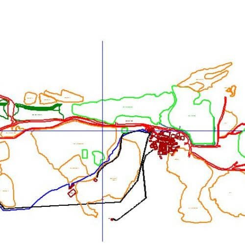
Mapping and Visualisation
Mapping and Visualization is the creation, analyses, and presentation of geospatial data through digital tools for informed decision-making and communication.
Cartographic Communication
Mapping and Visualization involves the combination of various data types to create visual representations that aid in the understanding of geospatial phenomena and decision-making.